Automotive

Related projects
Self-driving cars
Project Overview
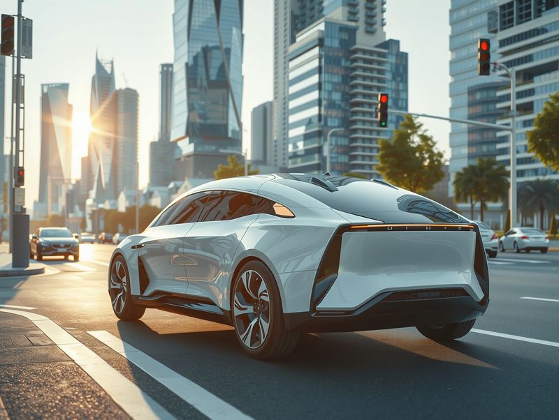
This project aims to leverage self-driving car technologies to improve the visualization of environments via geographic images. By doing so, it aims to enhance the comprehension of road objects for autonomous vehicles. By integrating machine learning algorithms, the project seeks to accurately plan paths, make informed decisions, and predict the movements of other vehicles and pedestrians while comprehending traffic signals effectively.
Project Objectives:
To Identify Road Objects: Utilize bounding box techniques to identify and classify objects on the road such as vehicles, pedestrians, traffic signs, and signals from geographical images.
To Predict Movements: Implement machine learning models to predict the movements of vehicles and pedestrians with high accuracy to ensure safe navigation of self-driving cars.
To Understand Traffic Signals: Develop an algorithm capable of recognizing and interpreting different traffic signals and signs to facilitate compliant navigation.
To Plan Paths: Use the data obtained from object identification and movement prediction to plan safe and efficient paths for self-driving cars.
